P. 36 EXPEDICION AUSTRIACA DE LOS AÑOS 1930 / AUSTRIAN EXPEDITION DURING THE 1930s
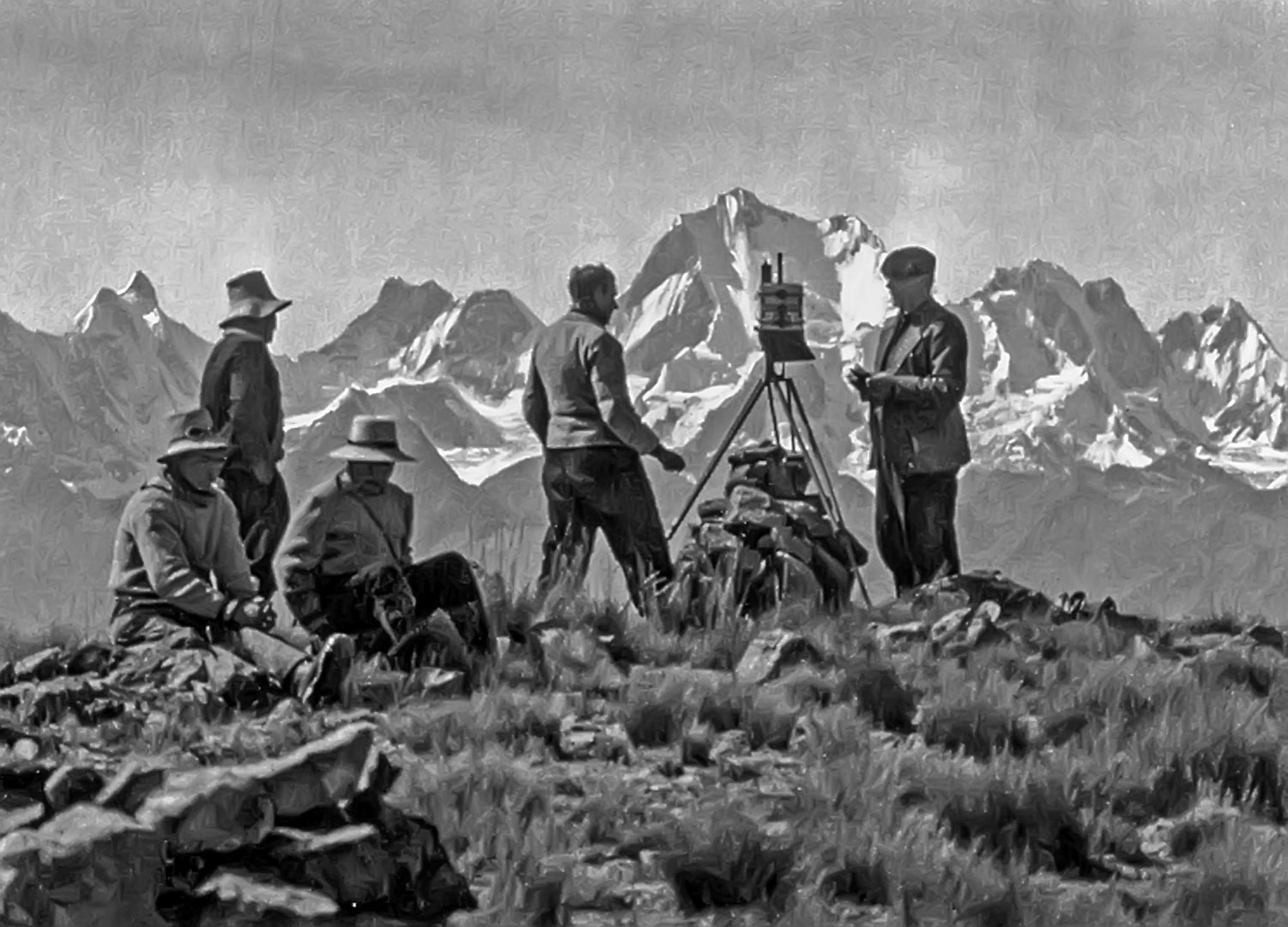
Foto: Kinzl Collection, University of Innsbruck
Donde fue tomada: No puedo estar seguro. Parece que están en alguno de los cerros cerca a Chiquián.
Where it was taken: I cannot be certain. It appears to be taken atop one of the hills near Chiquián.
Como llegar desde Huaraz: 80 km. al sur a Conococha (o 120 km. subiendo desde Barranca en la Carretera Panamericana). Desde Conococha la carretera Antamina parte hacia el sureste. Al Km. 6 (Mojón) una Carretera desciende a la derecha hacia Chiquián (y eventualmente la Cordillera Huayhuash). Hay panoramas parecidas de la Cordillera por gran parte de esta región.
How to get there: From Conococha, 80 km. south from Huaraz (or 120 km. Up from Barranca on the Panamerican Highway on the Pacific coast, take the Antamina road southeast for six km., then take the winding road descending toward Chiquián. Much of this region has similar views of the west side of the Cordillera Huayhuash.
Note: The Austrian expeditions to the Cordillera Huayhuash and the Cordillera Blanca in the 1930s made pioneering explorations, ascensions and scientific research in the two ranges. Led by Philipp Borchers, Hans Kinzl and Erwin Schneider, much of their work was published in “Die Weisse Kordillere” (1935), “Cordillera Blanca (Peru)” (1950) and “Cordillera Huayhuash (Peru)” (1954). The expeditions were organized by the Osterreichischer Alpenverein (Austrian Alpine Club). The expeditions’ papers are now held in the Kinzl Collection at the University of Innsbruck (Universität Innsbruck, Institutsarchiv Geographie, Nachlass Kinzl).
Páginas relacionadas/Related pages: 5, 9, 27, 29-32, 34-35, 39