P. 6 SHAQSHA (5703m), CASHAN (5716m), HUANTSAN (6395m) & URUASHRAJU (5722m), 2018
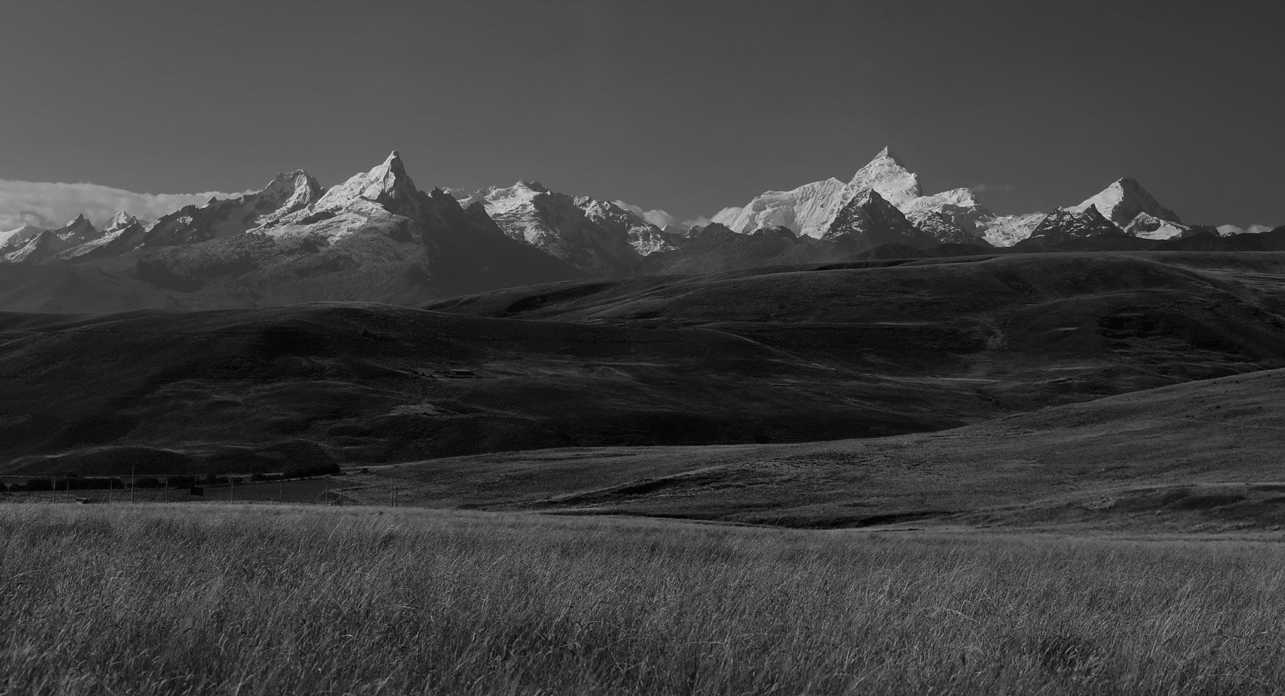
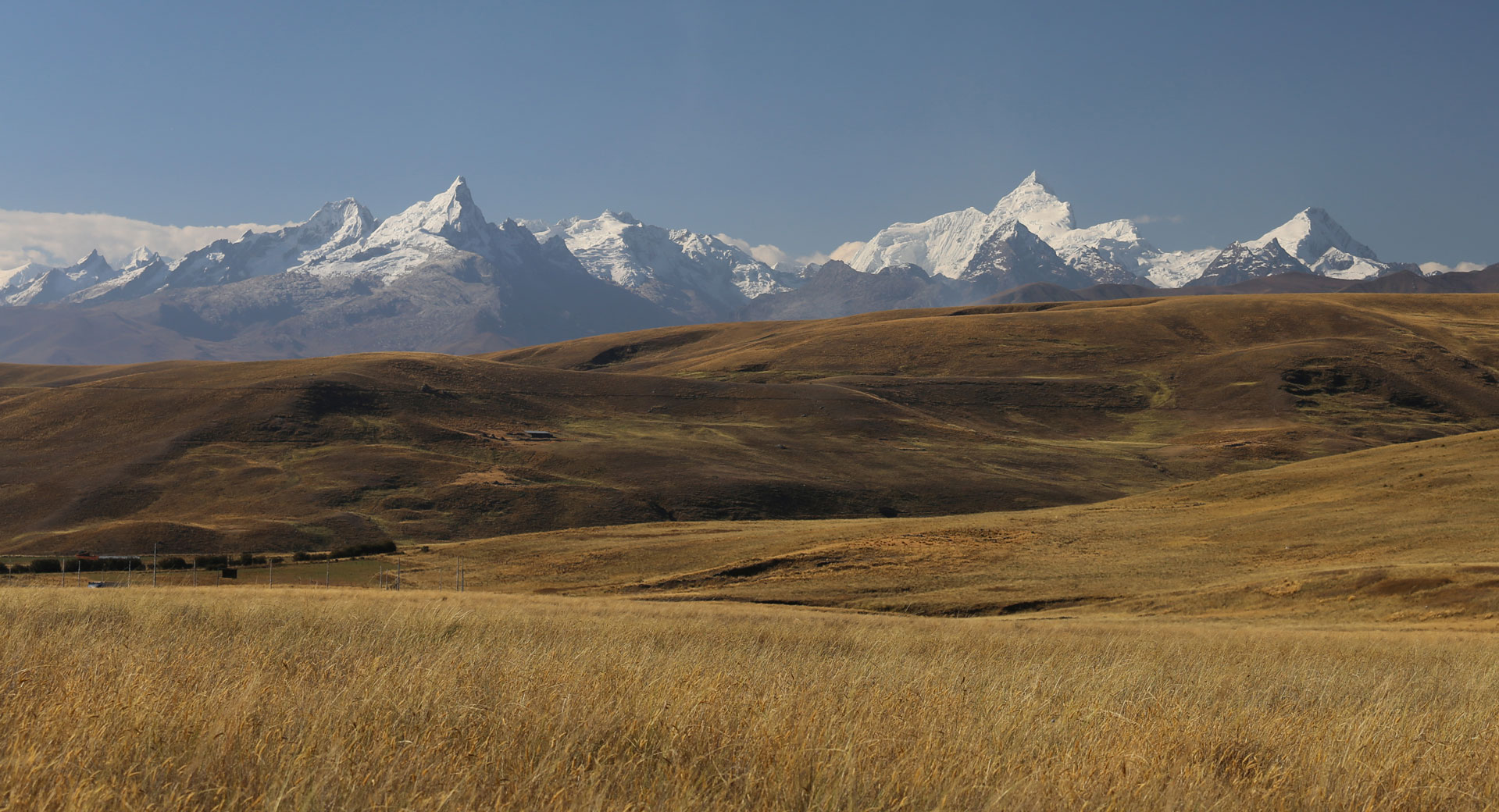
Donde fueron tomadas: Desde la carretera principal en el descenso desde Conococha hacia Huaraz. A sección larga al sur de Ticapampa y Catac ofrece variaciones de esta vista. Esta foto fue tomada cerca al peaje abandonado 42 km. al sur de Huaraz.
Where they were taken: From the main highway descending from Conococha toward Huaraz. A long section of the highway south of Ticapampa and Catac features variations of this view. These were taken from near the abandoned toll booth 42 km. south of Huaraz.
Where it was taken: From the slope of 5500m Nevado Jatunmontepuncu, a mountain on a spur running west from Nevado Pucaranra in the central Cordillera. (It is visible in the photo on page 52, the small glaciated peak in the center.)
How to get there: Today a rough, steep trail between the Quebradas Cojup and Quilcayhuanca (directly east of Huaraz) crosses this ridge at a point slightly to the west of the location of the photo. The valley floor of the Quebrada Cojup offers similar views of Nevado Palcaraju (see p. 47). Both the Quebrada Cojup and the Quebrada Quilcayhuanca are reached via the narrow paved road east of Huaraz to Unchus, Llupa and Pitec.
Páginas relacionadas/Related pages 13, 55-57, 59, 61