P. 49 LAGUNA CHURUP, 1979
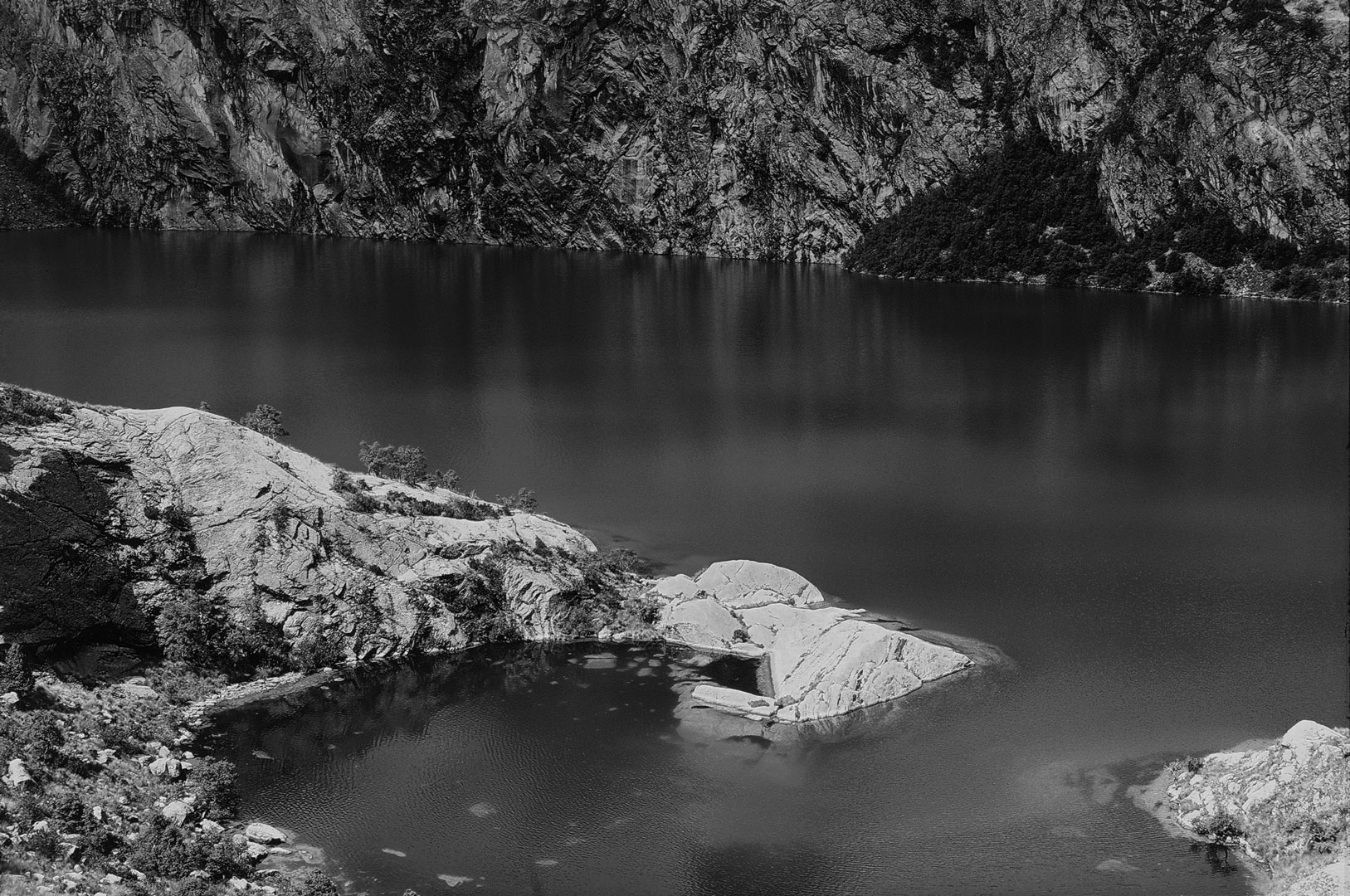
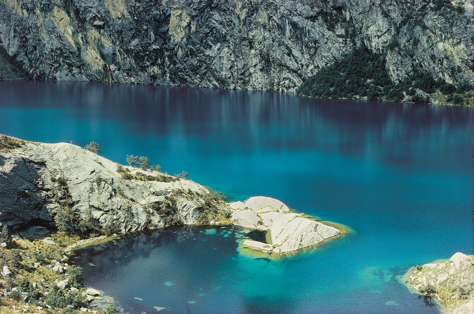
Donde fue tomada: Encima de Laguna Churup por la vertiente noroeste.
Where it was taken: On the slope northwest of Laguna Churup.
Como llegar: Una carretera asfaltada y estrecha asciende 21 km. al lado del Río Quilcay desde el centro de Huaraz a un estacionamiento al pueblito de Pitec a 3850 metros. Desde este punta un camino muy empinado asciende a la laguna a 4550 metros, con cables de apoyo en la última trocha.
How to get there: A narrow paved road ascends 21 km. beside the Rio Quilcay from the center of Huaraz to the village of Pitec AT 3850m. From this point a steep 3-km. trail, with cables for support on the final stretch, climbs to the lake.
Páginas relacionadas/Related pages: 48, 52