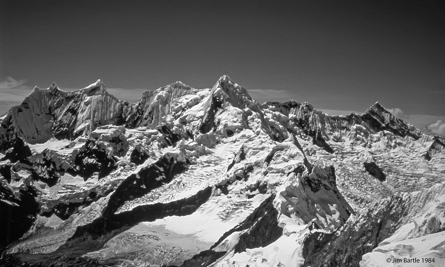
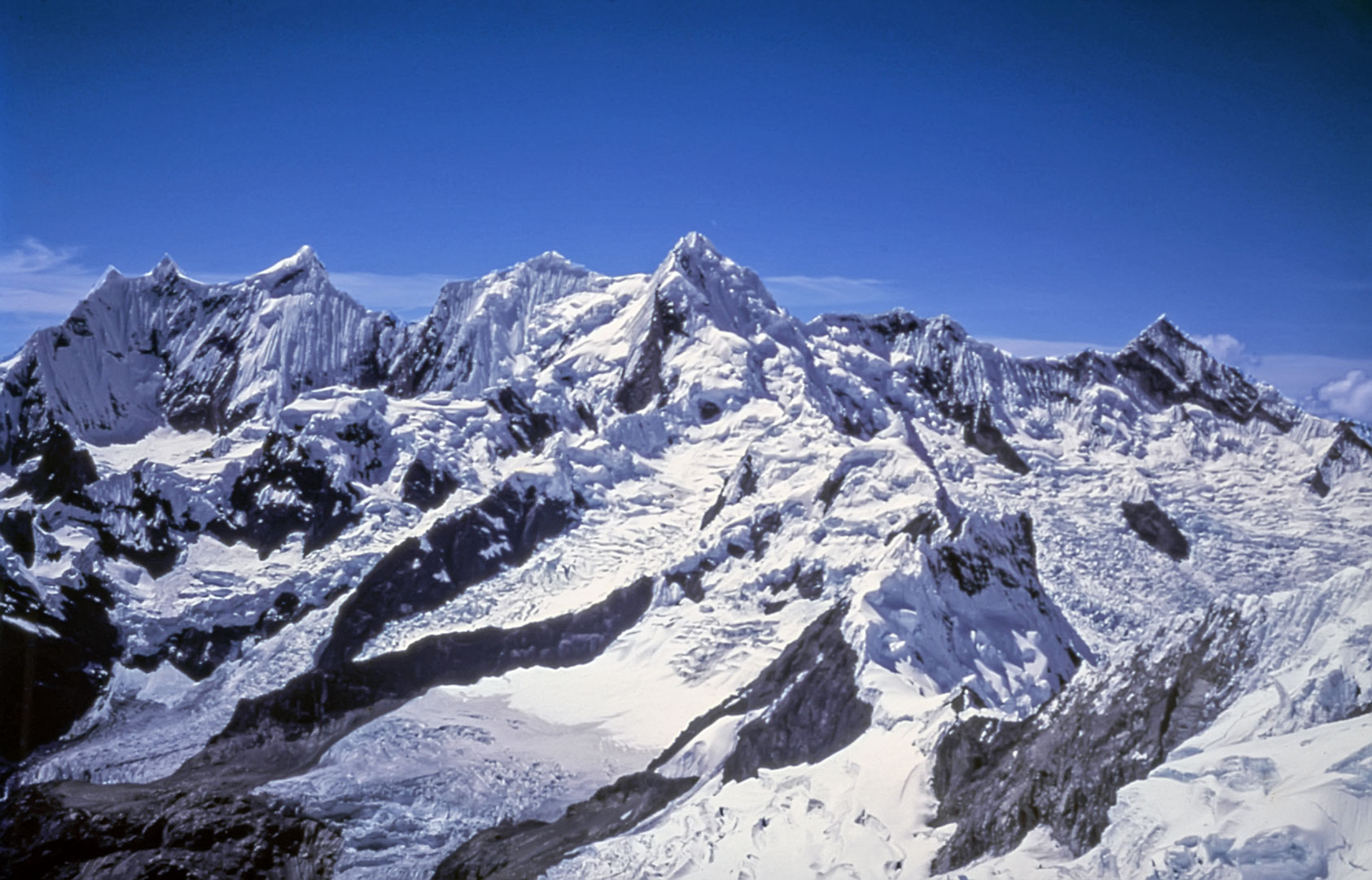
P. 4 PUCAHIRCA (6046, 6014 & 6039M) & RINRIHIRCA (5810M)
Donde fue tomada: Vertiente este del Nevado Alpamayo.
Where it was taken: The eastern slopes of Nevado Alpamayo.
Como llegar: La ruta sigue la sección del circuito Santa Cruz a Vaquería. Partiendo del pueblo de Cashapampa al norte de Caraz, el camino asciende abruptamente por cinco kilómetros por la Quebrada Santa Cruz, luego continúa por 17 km. más o menos a nivel. Después asciende la Quebrada Arhuaycocha hacia el norte por 7 km. al Campo Base de Alpamayo a los 4350m. Desde este campamento asciende hacia el oeste hasta el glaciar de Alpamayo y por el collado al campo de nieve ancho en la vertiente occidental.
How to get there: The route follows the northern third of the Vaquería-Santa Cruz loop trail. Starting from the village of Cashapampa north of Caraz, the trail climbs steeply up the Quebrada Santa Cruz for five kilometers, then continues relatively level for seventeen kilometers. It then ascends the Quebrada Arhuaycocha to the north for seven kilometers to the Alpamayo Base Camp at 4350m. From this point the route climbs steeply to the Alpamayo glacier and over the col at 5500m to a large flat area on the glacier on the west side.
Páginas relacionadas/Related pages 30, 32-33