P. 20 CHOPICALQUI (6354m) CRESTA OESTE/WEST RIDGE, 1980
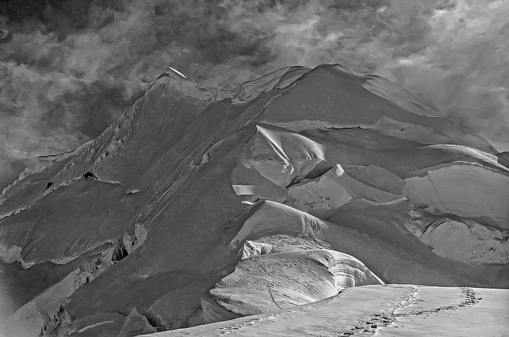
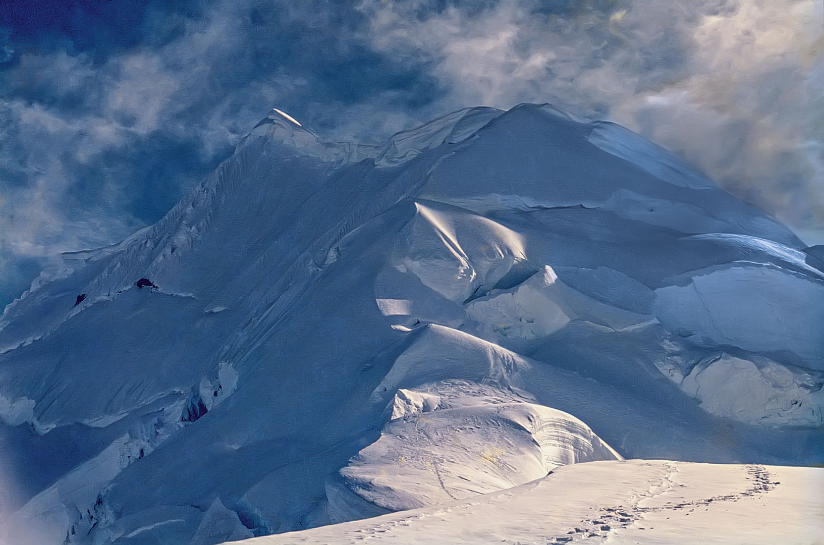
Donde fue tomada: Desde la cresta occidental del Chopicalqui a más o menos 5600 metros.
Where it was taken: From the west ridge of Chopicalqui at about 5600m.
Como llegar: Una carretera mal mantenida asciende 26 km. desde Yungay (56 km. al norte de Huaraz por la carretera principal) a las Lagunas Llanganuco. Después de pasar las laguna asciende en zigzag hacia el Portachuelo de Llanganuco. En la curva grande a Km. – un camino de herradura asciende moderamente por 4 km., después asciende precipitadamente por una morrena glaciar al sitio del campamento en el extremo occidental del glaciar. La ruta sobre el glaciar asciende por el glaciar hasta el punto algo entre Chopicalqui y Huascarán Sur, luego asciende la cresta larga del Chopicalqui.
How to get there: From Yungay (56 km. north of Huaraz), 33 km. up the dirt road past the Lagunas Llanganuco to the big curve 7 km. farther. Easy trail for 4 km. up the valley, then a steep 2-km climb up a moraine to the base camp on the west side of the glacier. Then climb through the icefall to the low point between Chopicalqui and Huascarán, then up the west ridge.
Páginas relacionadas/Related pages: 3, 21, 29, 63