P. 15 YUNGAY 1936, HUASCARAN NORTE (6655m)
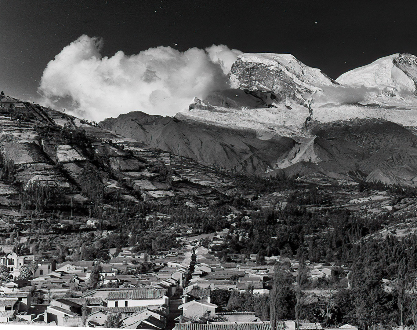
Foto: Kinzl Collection, University of Innsbruck.
Donde fue tomada: Desde el cementerio de Yungay.
Where it was taken: From the Yungay cemetery.
Como llegar: El Campo Santo de Yungay de hoy está ubicada 55 km. al norte desde Huaraz por la carretera principal. Todos los edificios en esta foto de 1936 fueron sepultada en la aluvión que cayó del Huascarán Norte el 31 de mayo de 1970. La aluvión masiva fue causado por el sismo de magnitud 7.7 que golpeó todo el Callejón de Huaylas. Se estima que aproximadamente 18,000 personas se murieron en Yungay.
How to get there: Today´s Yungay Memorial Park (Campo Santo) is located 55 km. north of Huaraz near the main highway. All the buildings in this 1936 photo were buried in the alluvion falling from the face of the north peak of Huascarán on May 31, 1970. The massive alluvion was caused by the 7.7 magnitude earthquake that devastated the entire Callejón de Huaylas. It is believed approximately 18,000 people died in Yungay.
Páginas relacionadas/Related pages: 3, 11, 14, 17, 29, 63